Use Images to Help People Navigate [Photo Tour]
Hong Kong and Doha’s metro systems use drawings and photos to help people find the right exit. Let’s take a look.
When navigating an unfamiliar place, it can be overwhelming to see directional signs pointing to many different places. One nice way to help people out is to include pictures of the key destinations.
These images help draw attention to where it matters—highlighting only the most important or common destinations—while also helping to bridge language barriers.
I will now take you on a visual tour of some recent examples I have seen in the subway systems in Hong Kong and Doha. Fasten your seatbelt!
Seeking the souq
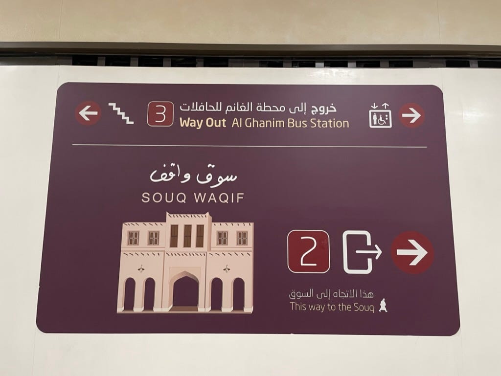
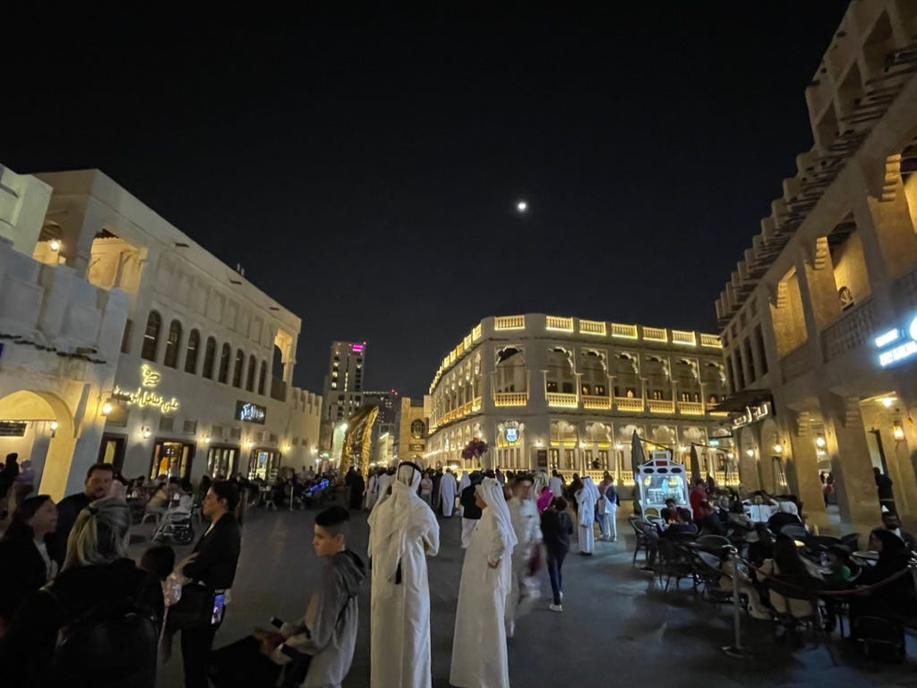
The Souq Waqif is one of the top sights in Doha, Qatar, and there’s a metro station with the same name. But the station has multiple exits. To help make it very obvious to tourists which way is the right way, their signs have big drawings of the souq.
It’s straight to the point. You can’t miss it!
Now let’s fly to the other side of Asia.
Visuals for visitors
In Hong Kong, stations have maps showing the surrounding area, with photos for the key attractions.
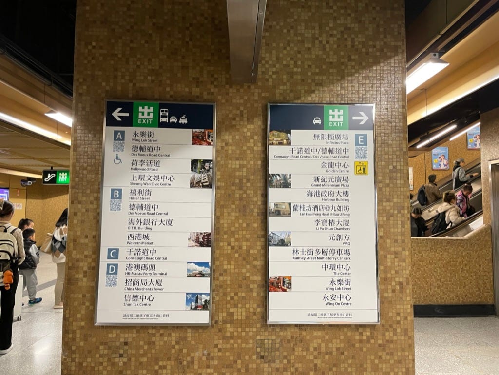
They also include maps of the station layout, showing you where each of the exits is located. The directional signs include photos next to the important destinations for visitors.
Here’s a different station:
Here’s yet another station—this time with only one tourist attraction in the area:
As you can see, they use lettered exits. There are actually two phases: first, a letter signifies a group of nearby exits, then that letter plus a number signifies a specific stairway, escalator, or elevator.
In this example, initial signs will point us to the B group of exits, then at the end here’s the split between exits B1 and B3:
Finally, we arrive at our destination, just as shown in the picture!
If a station is particularly complicated, there may even be a 3-D layout map:
A related cool visual thing is that inside the trains, the system maps light up all the stations you can reach on connecting lines at the next stop:
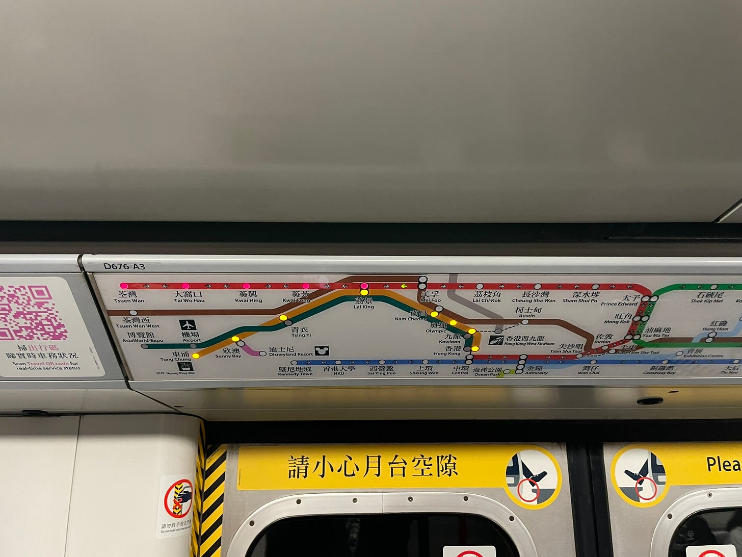
Speaking of bright orange bubbles: Make sure to devour some delicious egg waffles while you’re in Hong Kong!
Monuments, museums, and memorials on the Mall
This lesson applies beyond transportation systems.
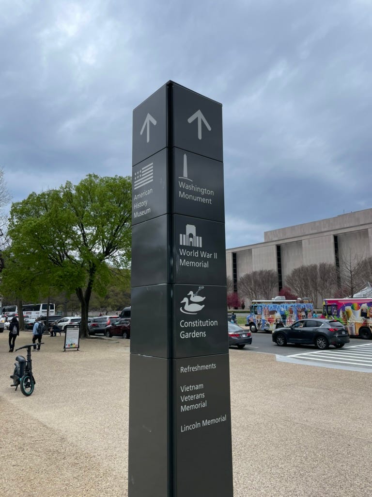
On Washington, D.C.’s National Mall—home to many of the capital’s most iconic monuments, museums, and memorials—there are signs that point to key attractions using not only their names but also drawings or icons.
Besides being generally cool and pretty, this is very helpful because some of the monuments and memorials, such as the Washington Monument (the giant obelisk), are arguably more known by their appearance than their name.
Particular purposes
These images play two important roles:
Drawing attention where it matters: Directional signs are primarily useful for people who are unfamiliar with the area. They are often headed to a small set of specific destinations, usually major tourist attractions. The named destinations on a sign that are accompanied by an image naturally attract more attention, highlighting themselves as the ones to pay the most attention to.
Bridging language barriers: Lots of visitors might not speak the local language, and so might not know what the attraction is called in the local language. But images are universal!
Catalyzing the conversation
If you thought this post was interesting, think of a friend or colleague who might also be interested and share it with them! Together, we can help good ideas spread.
In upcoming posts, I’ll explore municipal efficiency, coordination across departments, state capacity, innovations in educational course structure, and more—and take you to Iraq, Lithuania, Mexico, Bhutan, and beyond. I’m excited, and I hope you are too!
Make sure you’re subscribed, so you can be the first to know about them.
Tell me in the comments: Have you seen this approach used anywhere else? How might this be applied in your city or town?








Isn't it universal for subways/railways? From Moscow to Paris to Saint Petersburg to, IIRC, Berlin, map of exits seems a standard thing for a while now. (A _good_ one, don't get me wrong.)